“Drone Cinematography in Urban Environments – Challenges and Solutions”
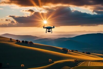
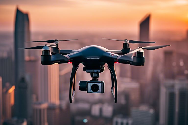
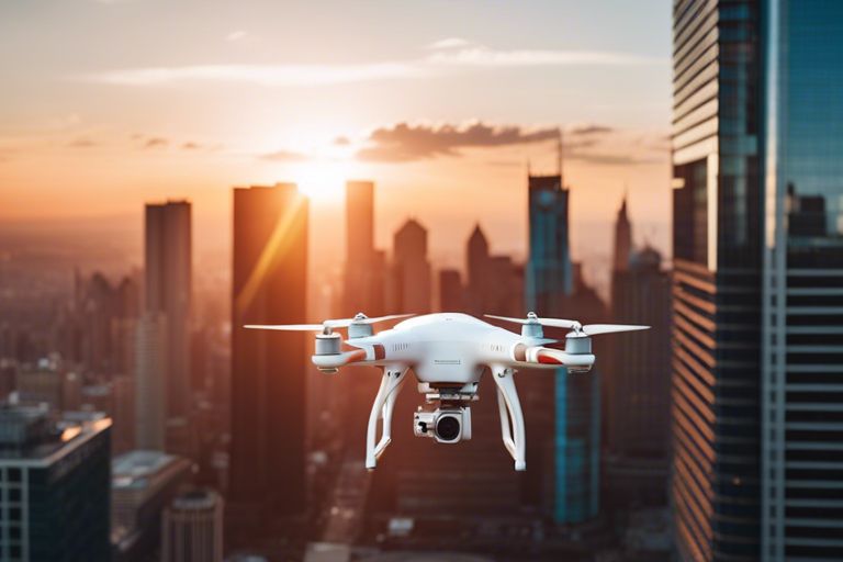
Over the past decade, drone cinematography has revolutionized the way we capture stunning visuals in various settings. However, when it comes to filming in urban environments, unique challenges arise that require specific solutions to ensure successful and safe flight operations. In this blog post, we will investigate into the intricacies of drone cinematography in urban settings, exploring the obstacles filmmakers face and providing valuable tips and techniques to overcome them effectively.
Understanding the Urban Landscape
Before delving into the challenges and solutions of drone cinematography in urban environments, it is crucial to understand the complexities of the urban landscape. Urban areas are characterized by a dense concentration of buildings, roads, and infrastructure, creating a visually dynamic but challenging environment for aerial filming.
Characteristics of Urban Environments
Characteristics of urban environments include tall skyscrapers, narrow streets, bustling crowds, and intricate city planning. These features pose obstacles for drone pilots such as limited airspace, potential signal interference, and complex flight paths. Additionally, the close proximity of buildings can create wind tunnels and turbulence, affecting the stability of the drone during flight.
Moreover, urban landscapes often contain a mix of architectural styles, from historic landmarks to modern structures, adding a layer of visual complexity to aerial shots. Understanding the unique features of urban environments is essential for drone cinematographers to navigate and capture stunning footage in these challenging settings.
Impact on Aerial Filmmaking
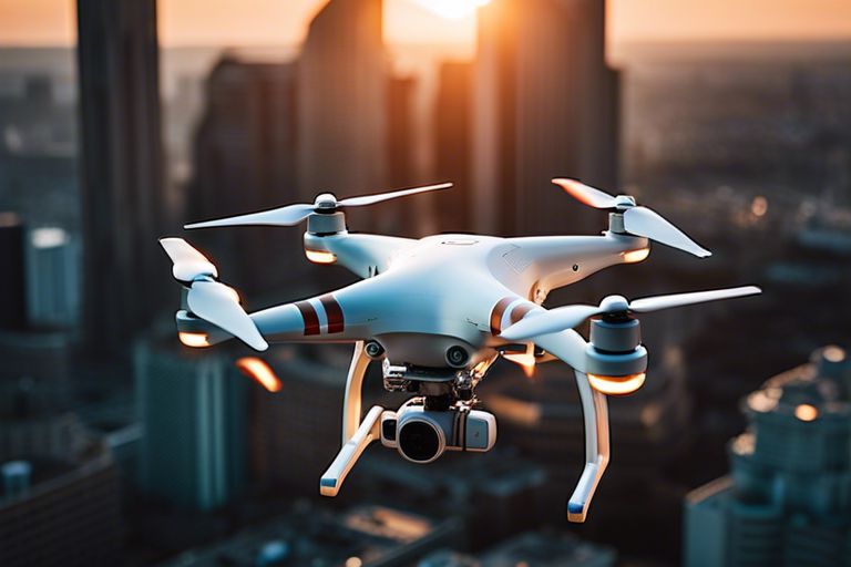
On a practical level, the urban landscape presents both opportunities and challenges for aerial filmmaking. The vast array of visual elements in urban environments, from towering skyscrapers to intricate street patterns, offers filmmakers a rich canvas for creative storytelling. However, the density of buildings and people in urban areas requires careful planning and precision flying to capture cinematic shots without compromising safety or violating regulations.
Filmmaking in urban environments demands a high level of technical skill and creativity to navigate the complexities of the landscape while complying with safety guidelines and regulations. Drone cinematographers must be adept at maneuvering through tight spaces, adjusting flight altitude to avoid obstacles, and capturing dynamic shots that showcase the unique beauty of urban architecture and activities.
Challenges in Urban Drone Cinematography
Some of the most intriguing and visually stunning cinematography can be captured through drone footage in urban environments. However, this unique form of filmmaking comes with its own set of challenges that filmmakers must navigate to ensure a successful and compliant shoot.
Legal and Regulatory Hurdles
Challenges in urban drone cinematography often stem from legal and regulatory hurdles imposed by local authorities. These restrictions may include no-fly zones, altitude limits, and obtaining permits for commercial drone operations. Failure to comply with these regulations can result in fines, legal action, and even confiscation of equipment.
Navigating the complex web of laws and regulations governing drone use in cities requires careful planning and adherence to established guidelines. Filmmakers must familiarize themselves with local laws, secure necessary permits, and ensure compliance with restrictions to avoid running afoul of regulatory agencies.
Navigational Difficulties and Safety Concerns
Drone cinematography in urban environments presents unique navigational difficulties and safety concerns. With tall buildings, power lines, and other obstacles potentially interfering with flight paths, filmmakers must exercise caution to ensure the safety of both their equipment and the public.
Drone operators need to possess a high level of skill and expertise to maneuver their equipment safely in densely populated cityscapes. Additionally, the risk of collisions with structures or other aircraft requires constant vigilance and adherence to best practices for safe drone operation.
Urban environments pose a variety of challenges for drone cinematography, from tight spaces and limited visibility to the potential for signal interference. Navigating these obstacles requires careful planning, advanced piloting skills, and a thorough understanding of the technical aspects of drone operation.
Privacy and Ethical Considerations
For filmmakers utilizing drones in urban settings, privacy and ethical considerations must be taken into account. The use of drones for aerial filming raises concerns about invasion of privacy, as the technology can easily capture footage of individuals without their consent.
To address these issues, filmmakers should respect individuals’ privacy rights, refrain from filming in sensitive areas, and obtain consent when necessary. It is essential to prioritize ethical considerations and uphold professional standards when conducting drone cinematography in urban environments.
Technological Innovations and Solutions
Advancements in Drone Technology
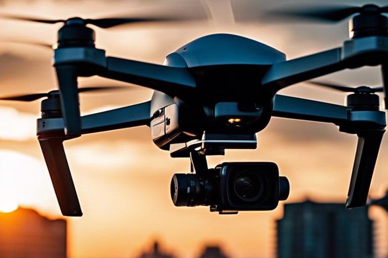
Unlike traditional drones, newer models are equipped with advanced features such as obstacle avoidance sensors, GPS tracking, and improved stabilization systems. These technological advancements have significantly increased the safety and efficiency of drone operations in urban environments. Drones can now navigate through challenging spaces with more precision and stability, reducing the risk of collisions and ensuring smooth footage capture.
Furthermore, the integration of high-resolution cameras and gimbals in modern drones allows cinematographers to capture stunning visuals with greater clarity and detail. The ability to stream live footage to ground control stations or mobile devices has revolutionized the way filmmakers plan and execute shots, providing real-time feedback for better decision-making.
Software Solutions for Flight Planning and Management
Solutions for flight planning and management have also seen significant advancements in recent years. Drone software now offers features such as automated flight path generation, geofencing, and real-time weather updates. These tools enable operators to plan routes more efficiently, avoid no-fly zones, and adjust flight paths based on changing environmental conditions.
Advancements in software solutions have simplified the process of obtaining flight permits and complying with regulations. Many platforms now incorporate built-in compliance checks and airspace regulations to ensure that operators are aware of and adhere to local laws. This streamlines the planning process and reduces the risk of regulatory violations.
To further enhance safety and operational efficiency, drone operators can now access comprehensive flight data analytics through specialized software solutions. These tools provide valuable insights into flight performance, battery usage, and equipment health, enabling operators to optimize their workflows and ensure the longevity of their drones.
Creative Techniques and Best Practices
Not every aerial shot is created equal, especially when it comes to capturing stunning footage in urban environments. In this chapter, we will explore some creative techniques and best practices to help you master the art of drone cinematography in cities.
Storytelling Through Urban Aerial Shots
Through the lens of a drone, urban landscapes can be transformed into dynamic visual narratives. To effectively tell a story through aerial shots, consider the composition, movement, and framing of each scene. Use the architecture, streets, and people as elements that contribute to the plot of your aerial film. Experiment with different angles and perspectives to evoke emotion and engage your audience in the urban story you are capturing.
When capturing urban aerial shots for storytelling purposes, pay attention to the pacing and flow of your footage. Smooth and controlled movements can create a cinematic experience, while sudden changes in direction or speed may disrupt the narrative flow. Utilize transitions such as fades or cuts to seamlessly connect different shots and enhance the storytelling continuity.
Tips for Capturing High-Quality Footage
Avoid harsh lighting conditions by shooting during the golden hours of sunrise or sunset to achieve a warm and soft glow. Experiment with different camera settings like shutter speed and aperture to balance exposure and capture sharp, vibrant images. Enhance the depth and dimension of your footage by incorporating foreground elements such as buildings or trees to create a sense of scale and perspective.
- Practice smooth and precise maneuvers to maintain stability and avoid jerky movements.
- Perceiving the environment through the lens of your drone is key to capturing unique perspectives and visual storytelling.
As with any form of cinematography, practice makes perfect. Spend time honing your flying skills and experimenting with various techniques to discover what works best for your urban aerial shots. By combining technical proficiency with creative storytelling, you can create visually captivating footage that elevates your drone cinematography to new heights.
Conclusively
“Drone Cinematography in Urban Environments – Challenges and Solutions” sheds light on the complexities faced by filmmakers when capturing aerial footage in city settings. From navigating airspace restrictions to dealing with signal interference, the challenges are plentiful. However, by employing techniques such as flight planning, communication with relevant authorities, and utilizing advanced drone technology, these obstacles can be overcome. It is imperative for drone operators to stay informed and adhere to regulations to ensure safe and successful urban aerial filming. With proper preparation and a thorough understanding of the challenges at hand, drone cinematography in urban environments can yield breathtaking cinematic results.